I’ve been privileged to enjoy a host of unique adventures and cool experiences while living in Cambodia. One item, however, has remained stubbornly on my bucket list—in all my years here, I had yet to see Angkor from the air. Invariably, every time I fly out of Siem Reap, my seat is on the wrong side of the plane, and I find myself staring across endless rice paddies instead of photographing ancient monuments like my lucky fellow passengers across the aisle.
All that changed in April– I managed to land a spot aboard a Helistar chopper along with a couple of friendly Australians. They were well-armed with multiple cameras to document their adventure, and I sported a GoPro and my trusty, battered Nikon.
I chatted with the pilot, Marcel, on the tarmac. He had that kind, off-beat confidence that pilots I’ve met tend to exude. He also wore cool sunglasses, which in my experience is a prerequisite to piloting an aircraft.
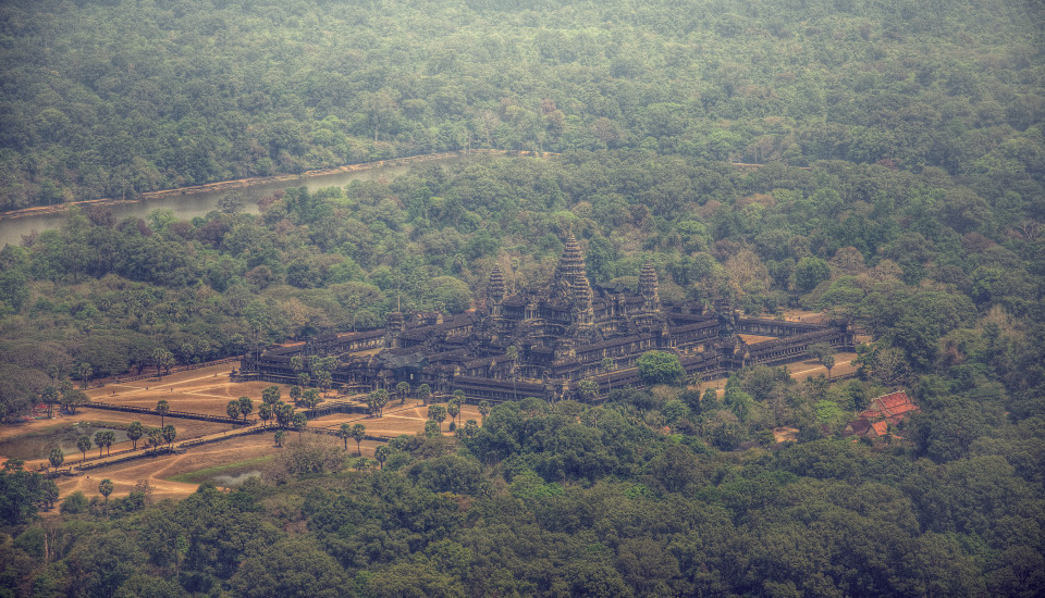
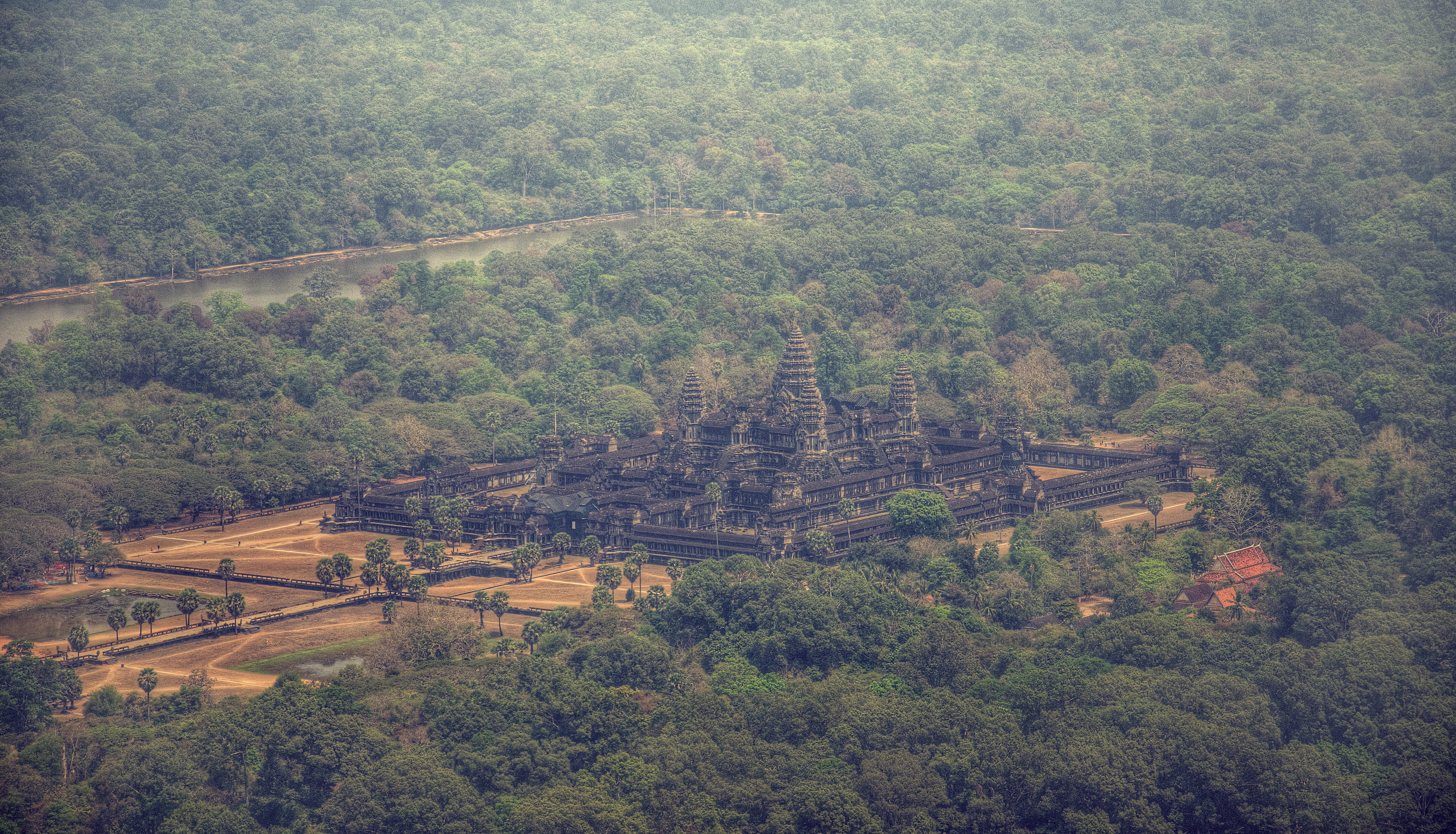
We took off from a quiet private corner of the airfield, just to the west of Angkor Wat. I could see a herd of sundrenched cows foraging below, just meters from the runway, as we winged our way towards Angkor. To the north I could see the West Baray, a vast ancient man made reservoir, stretching away from me–the largest man-made lake in history, and all dug by hand nearly 1000 years ago.
Angkor is Huge: first off, the sheer size of the ancient city is mind-blowing. I’ve seen Angkor from the ground countless times, but from the air I could see, for the first time, simply how vast and sprawling the ancient city is. The current city of Siem Reap is nearly 180,000 strong, but from the air it’s Lilliputian compared to the monuments, walls and moats of the ancient civilization.
The flat landscape was a grid of roads and canals, stretching as far as the eye can see in every direction, with the two mountains of Phnom Bok and Phnom Bakheng jutting up from the patchwork of rice paddies. I could even see an ancient road cutting diagonally through the rice paddies, leading from the old capital of Roluos to the ‘newer’ city of Angkor. Those kind of visible historic details get me excited (I will admit to being a nerd)
We then struck out over the Tonle Sap Lake, circling above a floating fisherman’s village óccupied by people who spend their entire lives—cradle to grave—on the water. Marcel mentioned how during low water season the village moves out to open water, while during high water they hug the coast and small estuaries. “Also, if you don’t like your neighbors…not a problem,” he quips with his dry Swiss humor. “You just paddle your house to find a more suitable place.”
Marcel told me that he’s in the middle of prepping for a new session of Lidar mapping, in a similar vein to the project which made world headlines in 2013 with the discovery of the ‘Lost City.’ This time, however, his archaeological colleagues will be mapping Northern Cambodia, looking for yet undiscovered cities and monuments. These are true modern-day explorers who have given up a horse, elephant or Land Rover for the freedom of a flying machine.
A couple thoughts for when you ever come to Siem Reap yourself: I would highly recommend that you schedule an Angkor from the Air experience for your last day in Siem Reap. By then you will be familiar with the temples from the ground, and with a good guide you will have learned several interesting bits of the history. From the air you will be able to assemble the puzzle pieces of each temple, and form a complete view of the civilization.
A final thought: While the 20 minute flight is sufficient to get a general view of Angkor, I highly recommend the more extensive 48 minute flight, which will display everything from the Kulen Plateau (site of the ‘Lost City” of Mahendraparvata and the birthplace of the Khmer Empire) to the floating villages of the Tonle Sap– definitely worth the extra dollars.


